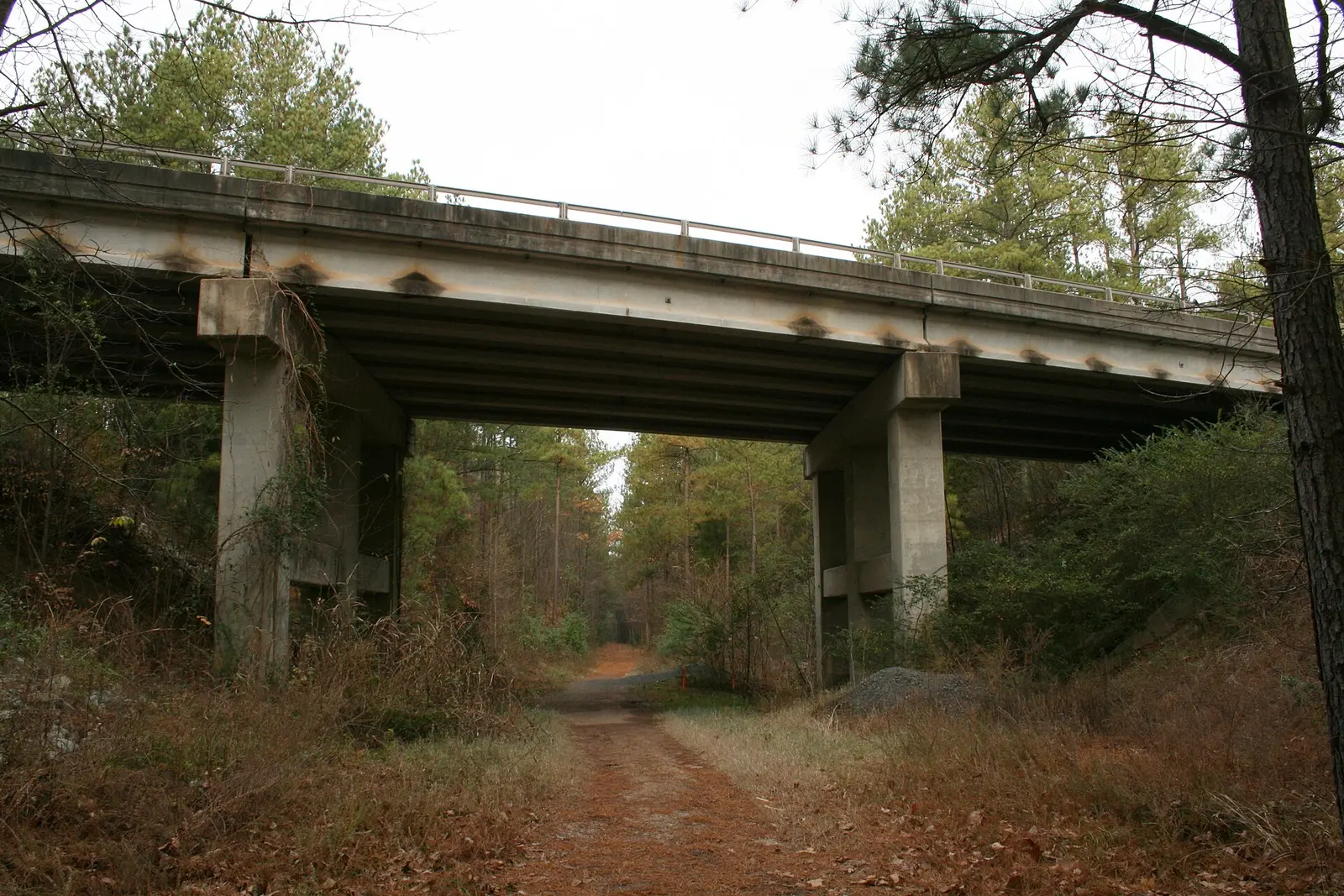
Durham's walking and biking trails: the 11-mile American Tobacco Trail, the North/South Greenway, Third Fork Creek and more, with distances, starts and restrooms.
Last checked Oct. 12, 2026. Distances, start and end points and restrooms come from Durham Parks and Recreation’s trails pages. Check the department’s trail repair updates before you go.
Durham Parks and Recreation maintains more than 30 miles of free multi-use trails and greenways. The two big ones are the American Tobacco Trail, running south from downtown, and the North/South Greenway, running north through the center of the city. Both are paved and 10 feet wide for most of their length.
Trail basics
- Durham Parks and Recreation: 919-560-4355
- Bike and hike map: from the city’s Transportation Department
- Rule of the trail: “Wheels yield to heels”; pets on a leash
- Emergency: 911
American Tobacco Trail
From the city’s trail page:
- Length: 11 miles in Durham, paved and 10 feet wide, on the old CSX railroad bed.
- Starts: the corner of Morehead and Blackwell streets downtown.
- Ends: the Chatham County line, 3,000 feet south of Scott King Road; the trail continues to Jordan Lake.
- Restrooms: Elmira Park, Solite Park and C.M. Herndon Park.
- Speed: keep below 10 mph; it is busy with walkers, runners, cyclists, skaters and strollers.
- Riddle Road Spur: a 1.5-mile paved branch from Riddle and Fayetteville roads to South Briggs Avenue, with street crossings at Riddle Road (no light), N.C. 55 (pedestrian light) and South Alston Avenue (four-way stop).
North/South Greenway
A chain of trails through the middle of Durham, from the city’s North/South Greenway page:
| Trail | Length | From | To | Restrooms |
|---|---|---|---|---|
| Warren Creek Trail | 0.75 miles | Horton Road | Whippoorwill Park | Whippoorwill Park |
| Stadium Drive Trail (mostly sidewalk) | 1.9 miles | Ellerbee Creek Trail | Whippoorwill Park | Whippoorwill Park, Rock Quarry Park, Museum of Life and Science |
| Ellerbee Creek Trail | 1.2 miles | Stadium Drive | Club Boulevard (parking at Northgate Park) | Rock Quarry Park, Northgate Park |
| West Club Boulevard Trail | 0.3 miles | Northgate Park (parking) | Washington Street | Northgate Park |
| South Ellerbee Creek Trail | 1.4 miles | West Trinity Avenue | West Club Boulevard | Northgate Park |
| Duke Park Trail | 0.3 miles | Washington Street | Duke Park at Acadia Street (parking) | Duke Park |
| Downtown Trail (sidewalk) | 0.9 miles | West Trinity Avenue | Jackie Robinson Drive by the DBAP | Durham Farmers’ Market area |
The Downtown Trail is marked with green bricks along the sidewalk. Bikes may use the wide sidewalks but should go slowly and yield to pedestrians; on the street, ride with traffic.
More greenways
- West Ellerbee Creek Trail, 2.25 miles, paved, from Albany Drive near Indian Trail Park to Stadium Drive and Broad Street, landscaped with native plants; no restrooms.
- Third Fork Creek Trail, 3.6 miles, paved, from Southern Boundaries Park to Garrett Road Park. Watch for mud and water after heavy rain.
- Sandy Creek Trail (New Hope Creek Greenway), 0.75 miles, paved, from Pickett Road to Sandy Creek Park. The city calls it a birding hot spot, with some 100 species seen, plus beavers, deer and otters; early morning and dusk are best (New Hope Creek page).
- Pearsontown Trail, 2.1 miles from Elmira Park to N.C. Central University; Rocky Creek Trail, 1 mile from the American Tobacco Trail south of Fayetteville Street to Dakota Street; and the short R. Kelly Bryant Bridge Trail (Pearsontown and Rocky Creek page).
Coming: the Durham Rail Trail
A planned 1.8-mile multi-use trail on an unused Norfolk Southern rail bed from north Durham to downtown, connecting to the Ellerbe Creek Trail and the American Tobacco Trail (Durham Rail Trail page).
Etiquette
From the city’s trail safety page: keep right and pass on the left, call out “Passing on your left!” or ring a bell, walk no more than two abreast where it is busy, keep pets on a leash and under control, and keep headphones low enough to hear others.
What this means for you
- New to the trails? Start the American Tobacco Trail at the downtown end and turn around when you have had enough; it is paved the whole way through Durham.
- With small children, the Sandy Creek and Duke Park trails are short, with restrooms at the parks.
- Dog owners: see our dog-friendly Durham guide; more parks are on our parks and trails page.
Frequently asked questions
How long is the American Tobacco Trail in Durham?
The Durham section is 11 miles of paved, 10-foot-wide trail on the old CSX rail bed, from Morehead and Blackwell streets downtown to the Chatham County line. The trail continues to Jordan Lake.
Where are the restrooms on the American Tobacco Trail?
Durham Parks and Recreation lists restrooms at Elmira Park, Solite Park and C.M. Herndon Park.
How many miles of greenway does Durham have?
Durham Parks and Recreation maintains more than 30 miles of multi-use trails and greenways, all free to use.
Can I bike on the downtown Durham sidewalks?
On the 0.9-mile Downtown Trail, marked with green bricks, bikes are allowed on the wide sidewalks, but the city asks riders to go slowly and yield to pedestrians.
What is the speed limit on the American Tobacco Trail?
The city asks users to keep below 10 mph and watch for other trail users.
Have your say