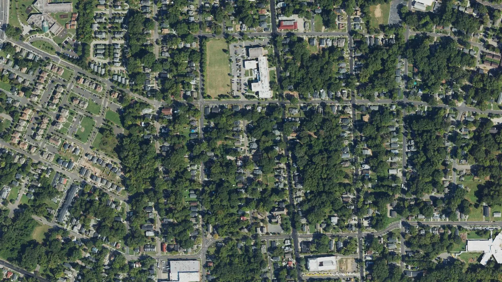
East Durham is a National Register district east of downtown, mostly in ZIP code 27703, zoned for Riverside High and Brogden Middle.
Last checked Oct. 12, 2026. Sources: the City of Durham’s Durham Comprehensive Plan and planning GIS data, Durham Public Schools’ 2026-27 attendance zones, the N.C. Department of Public Instruction’s 2025-26 accountability data, NCDOT’s highway exit data, OpenStreetMap and Zillow Research.
East Durham is the neighborhood about a mile east of downtown, around Driver Street. The East Durham Historic District, about 307 acres, was listed on the National Register of Historic Places in 2004; the city’s historic district data describes it as a “1890s-20th c. residential, commercial, industrial district.” The city’s comprehensive plan names East Durham in Policy 67 among “communities not prioritized in the past” where transportation investments should come first. Most of the district is in ZIP code 27703.
What this means for you
- Zoned high school: Riverside High, 47.5% of state tests at grade level in 2025-26. Check an address with the city’s school locator.
- Home value: $379,924 in ZIP code 27703 in August 2026, according to the Zillow Home Value Index.
- Nearest freeway exit: Durham Freeway (N.C. 147) Exit 11, N.C. 55 and Alston Avenue, about 1.3 miles by road.
Part of our Durham neighborhoods guide.
Where it is
In the city’s data the district runs about 1.1 miles north to south and half a mile across, with Driver Street through the middle and Angier Avenue and Holloway Street crossing it, where GoDurham buses stop. About 93% is in ZIP code 27703 and the rest, on the west, in 27701. The city’s Place Type Map marks most of it as Established Residential, with a Transit Opportunity Area and park land. It is a National Register district, not a local historic district, in the city’s data.
Schools
East Durham is in Durham Public Schools. We checked 358 points across the district against the 2026-27 attendance zones. All were zoned for Riverside High and Brogden Middle. For elementary school the area splits: about 55% is zoned for Y.E. Smith Elementary and 45% for Eastway Elementary, so check the exact address in the school locator.
| Level | School | At grade level | Growth |
|---|---|---|---|
| Elementary | Y.E. Smith Elementary, 2410 E. Main St. | 28.8% | Met |
| Elementary | Eastway Elementary, 610 Alston Ave. | 42.5% | Not met |
| Middle | Brogden Middle, 1001 Leon St. | 44.6% | Exceeded |
| High | Riverside High, 3218 Rose of Sharon Road | 47.5% | Met |
“At grade level” is the share of state tests at grade level or above in 2025-26, from the state’s accountability data; the district figure was 53.2%. The district’s Holton Career and Resource Center is at 401 N. Driver St., inside the neighborhood. Questions go to the Office of Student Assignment, 919-560-2059. More in our schools guide.
Home values
Zillow publishes no figure for East Durham alone. The Zillow Home Value Index is a modeled typical value for the middle third of homes, not a sale price.
| Area | August 2026 | August 2025 | Change |
|---|---|---|---|
| ZIP code 27703 | $379,924 | $396,452 | -4.2% |
| ZIP code 27701 (west edge) | $421,664 | $423,900 | -0.5% |
| City of Durham, for comparison | $389,634 | $403,339 | -3.4% |
ZIP code 27703 covers a much larger area than the district, so its figure is not East Durham’s alone. Trends are on our home prices page.
Parks and trails
From the city’s park data and Durham Parks and Recreation:
- Long Meadow Park, 917 Liberty St., 9.9 acres with a pool, at the district’s edge.
- East End Park, 1200 N. Alston Ave., 13.6 acres with an amphitheater and a futsal court, about 0.2 mile away.
- East Durham Park, 2500 E. Main St., 9.1 acres, about 0.3 mile away.
- Burton Park, 1501 Sima Ave., 11.5 acres, about 0.4 mile away.
- The city lists Holton Athletic Field, 401 N. Driver St., inside the district.
More in our parks and trails guide and our summer camps and pools guide.
Getting around
- Durham Freeway (N.C. 147): Exit 11 (N.C. 55, Alston Avenue) is about 1.3 miles by road from the middle of the district, and Exit 10B (Briggs Avenue) about 1.7 miles. Exit names are NCDOT’s.
- City Hall (101 City Hall Plaza): about 1.4 miles by road.
- Raleigh-Durham International Airport: about 12.3 miles by road.
- Buses: GoDurham Route 2 (East Durham to Brier Creek) stops on Angier Avenue at Clay Street, Routes 3 and 16 on Holloway Street, and Route 13 on Taylor Street at Driver Street, according to the city’s bus stop data. See GoDurham.
Distances were measured with the OSRM routing engine on OpenStreetMap roads from a point in the middle of the area. They are distances, not drive times. More in our getting around guide.
Groceries and everyday stores
OpenStreetMap lists these within about 1.5 miles:
- Supermarket: Food Lion, 2400 Holloway St.
- Pharmacy: Russell’s Pharmacy and Shoppe, 2116 Angier Ave.
- Shopping: The Village shopping center, about 0.7 mile east.
How we built this page
The area is the National Register’s East Durham Historic District as mapped in the city’s planning data; the comprehensive plan names East Durham. School zones come from the district’s 2026-27 attendance zones, checked at 358 points; a home near a zone line can differ. We found no city or county registry of homeowners associations for East Durham, so this page does not describe them.
Frequently asked questions
What schools is East Durham zoned for?
The East Durham historic district is zoned for Riverside High and Brogden Middle in Durham Public Schools’ 2026-27 zones. About 55% is zoned for Y.E. Smith Elementary and 45% for Eastway Elementary.
What ZIP code is East Durham?
Most of the East Durham historic district is in ZIP code 27703; a small western part is in 27701. Zillow’s Home Value Index for 27703 was $379,924 in August 2026.
Is East Durham a historic district?
The East Durham Historic District, about 307 acres of 1890s to 20th century homes, shops and industrial buildings, was listed on the National Register of Historic Places in 2004.
Does Durham’s comprehensive plan mention East Durham?
Yes. Policy 67 of the 2023 Durham Comprehensive Plan names East Durham among communities where transportation investments should be prioritized because they were not prioritized in the past.
Have your say