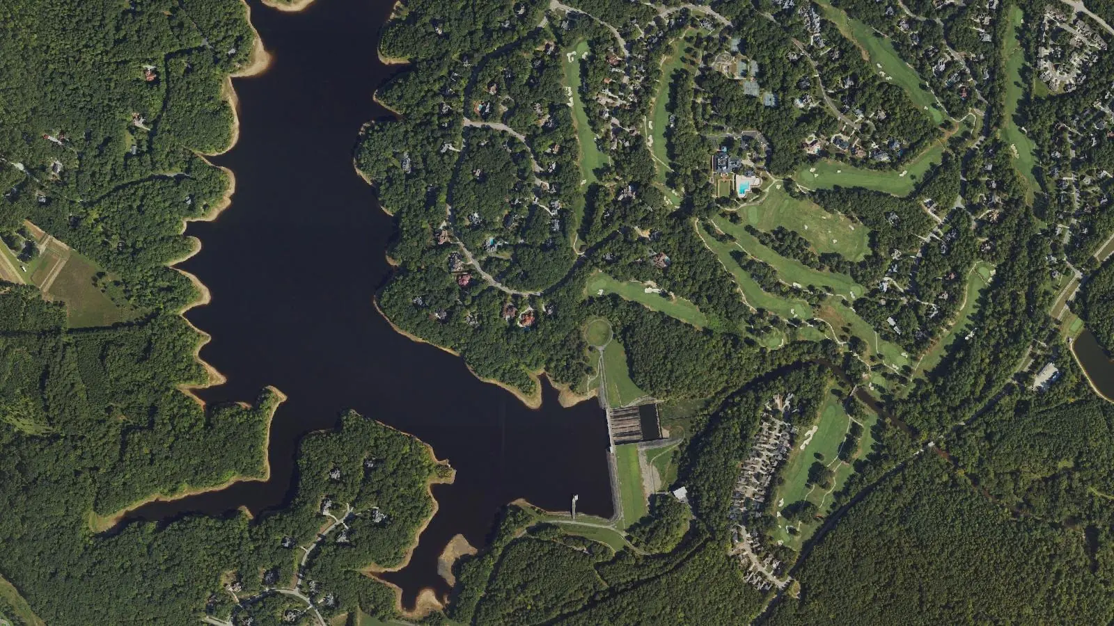
Treyburn, a planned area in north Durham, is partly inside city limits, mostly in ZIP code 27712 and zoned for Northern High.
Last checked Oct. 12, 2026. Sources: the City of Durham’s GIS data (city limits, Place Type Map, parks) and Durham Comprehensive Plan, Durham County’s tax rates, Durham Public Schools’ 2026-27 attendance zones, the N.C. Department of Public Instruction’s 2025-26 accountability data, NCDOT’s highway exit data, OpenStreetMap and Zillow Research.
Treyburn is the planned area in north Durham County along Treyburn Parkway, near the Little River and Snow Hill Road. OpenStreetMap maps Treyburn as a neighborhood of about 3.4 square miles. Only part of it is in the city: about 57% of that area is inside the city limits in the city’s boundary data, and the rest is unincorporated Durham County. Most of it is in ZIP code 27712.
What this means for you
- Zoned high school: Northern High, 33.4% of state tests at grade level in 2025-26. Check an address with the city’s school locator.
- Home value: $419,987 in ZIP code 27712 in August 2026, according to the Zillow Home Value Index.
- Nearest freeway exit: Interstate 85 Exit 180, Glenn School Road, about 9 miles by road.
Part of our Durham neighborhoods guide.
Where it is
About 84% of the OpenStreetMap area is in ZIP code 27712 and 16% in 27503, the Bahama ZIP code. The city’s Place Type Map marks the built-up parts as Planned Suburban Neighborhood and Established Residential and much of the open land as Rural and Agricultural Reserve. Part of it is now Employment Campus: the City Council and the county commissioners both adopted that change on Aug. 17, 2026, in case A2500001, according to the map’s data.
City or county matters here. A home inside the city pays the Durham County rate of $0.5792 and the city rate of $0.4371 per $100 of assessed value for 2026-27; a home outside the city pays the county rate plus a fire district rate instead, according to the county’s tax rates page. Look up a parcel on the county’s tax bill search or the city’s address map. More in our property tax guide.
Schools
Treyburn is in Durham Public Schools, which serves the city and the whole county. We checked 213 points across the area against the 2026-27 attendance zones; all were zoned for the same three schools. Little River Elementary and Lucas Middle are both on Snow Hill Road.
| Level | School | At grade level | Growth |
|---|---|---|---|
| Elementary | Little River Elementary, 2315 Snow Hill Road | 57.8% | Met |
| Middle | Lucas Middle, 923 Snow Hill Road | 43.7% | Not met |
| High | Northern High, 4622 N. Roxboro Road | 33.4% | Not met |
“At grade level” is the share of state tests at grade level or above in 2025-26, from the state’s accountability data; the district figure was 53.2%. Check your own address in the school locator or call the Office of Student Assignment at 919-560-2059. More in our schools guide.
Home values
Zillow publishes no figure for Treyburn alone, and its ZIP code file has no figure for 27503. The Zillow Home Value Index is a modeled typical value for the middle third of homes, not a sale price.
| Area | August 2026 | August 2025 | Change |
|---|---|---|---|
| ZIP code 27712 | $419,987 | $428,015 | -1.9% |
| City of Durham, for comparison | $389,634 | $403,339 | -3.4% |
Trends are on our home prices page.
Parks and trails
From the city’s park data and Durham Parks and Recreation:
- Snow Hill Road Park, 619 Snow Hill Road, 44 acres, inside the area.
- Little River Fishing Facility, 1500 Orange Factory Road, 7.8 acres with boat slips, inside the area.
- River Forest Park, 1000 Windermere Drive, 73.8 acres, about 1.9 miles away.
- Lake Michie Boating Area, 2802 Bahama Road, about 2 miles away.
More in our parks and trails guide.
Getting around
- Interstate 85: Exit 180 (Glenn School Road) is about 9 miles by road from the middle of Treyburn, and Exit 179 (East Club Boulevard) about 10.2 miles. Exit names are NCDOT’s.
- City Hall (101 City Hall Plaza): about 9.5 miles by road.
- Raleigh-Durham International Airport: about 21.5 miles by road.
- Buses: none in Treyburn. The nearest stop in the city’s bus stop data is GoDurham Route 4 at Madden Avenue and Roxboro Road, about a mile from the area’s edge.
Distances were measured with the OSRM routing engine on OpenStreetMap roads from a point on Treyburn Point Drive. They are distances, not drive times. More in our getting around guide.
HOAs
The comprehensive plan says Planned Suburban Neighborhoods have green space “usually managed by a homeowner’s association (HOA).” We found no city or county registry that names the associations in Treyburn, so this page does not describe them.
Groceries and everyday stores
OpenStreetMap lists the nearest on North Roxboro Street, about 3.5 to 4 miles away:
- Supermarkets: Food Lion, 5279 N. Roxboro St.; Harris Teeter, 5116 N. Roxboro St.
- Pharmacies: CVS Pharmacy, 5311 N. Roxboro St.; Upchurch Drugs and Gift Shoppe, 5108 N. Roxboro St.
- Library: the Durham County Library’s North Regional Library, 221 Milton Road.
How we built this page
The area is the Treyburn neighborhood polygon in OpenStreetMap, checked against the city limits. School zones come from the district’s 2026-27 attendance zones, checked at 213 points; a home near a zone line can differ.
Frequently asked questions
What schools is Treyburn in Durham zoned for?
All of Treyburn is zoned for Little River Elementary, Lucas Middle and Northern High in Durham Public Schools’ 2026-27 attendance zones.
Is Treyburn inside Durham city limits?
Partly. About 57% of the Treyburn area that OpenStreetMap maps is inside the city limits in the city’s boundary data; the rest is unincorporated Durham County. The county’s tax bill search shows which side a parcel is on.
What ZIP code is Treyburn?
Most of Treyburn is in ZIP code 27712, where Zillow’s Home Value Index was $419,987 in August 2026; the north part is in Bahama’s 27503.
How far is Treyburn from downtown Durham?
About 9.5 miles by road from the middle of Treyburn to City Hall and about 21.5 miles to RDU airport, measured on OpenStreetMap roads.
Have your say