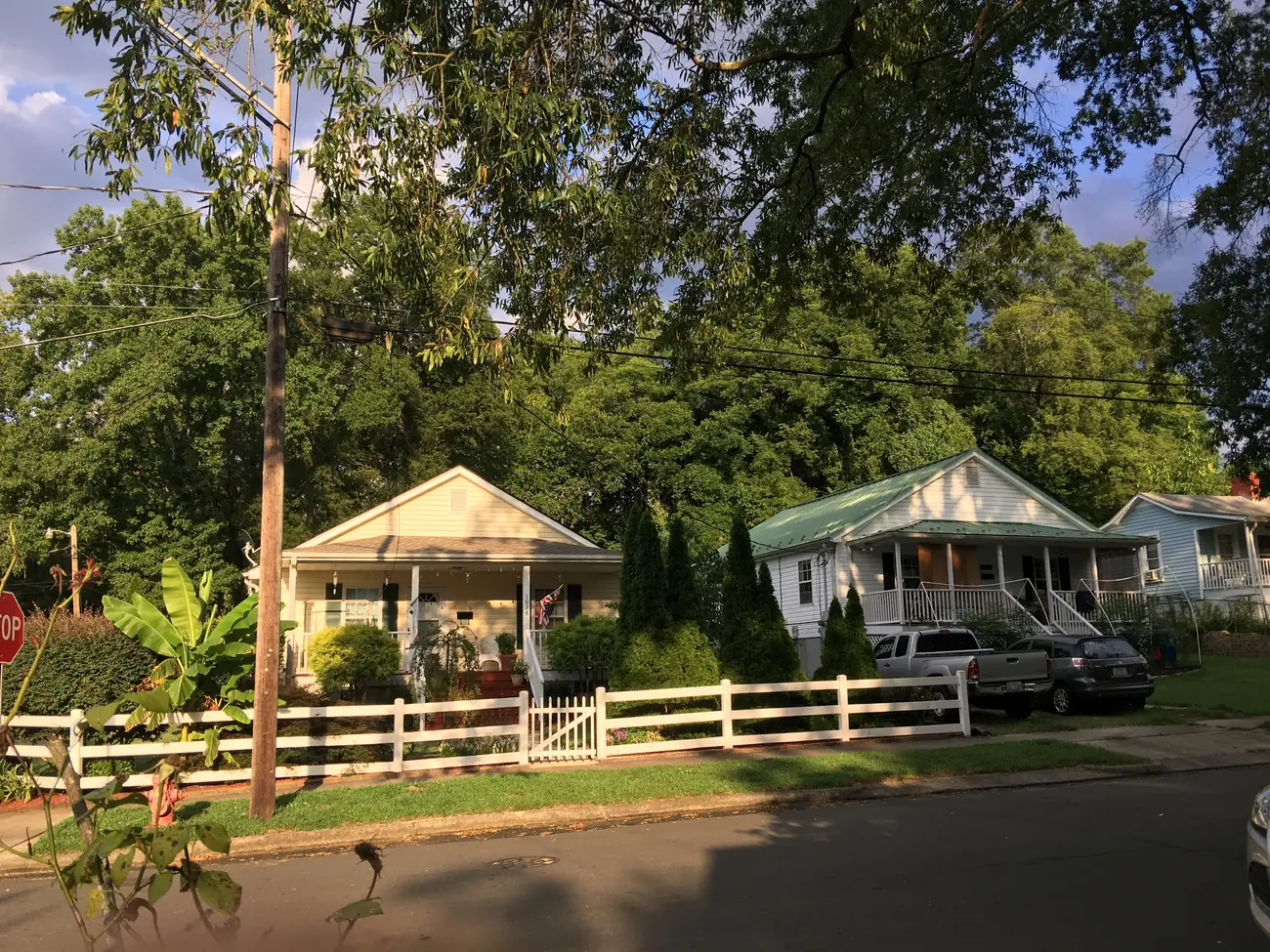
Walltown, north of Duke's East Campus around Walltown Park, is in ZIP codes 27705 and 27701 and zoned for Riverside High.
Last checked Oct. 12, 2026. Sources: the City of Durham’s Durham Comprehensive Plan and GIS data, Durham Public Schools’ 2026-27 attendance zones, the N.C. Department of Public Instruction’s 2025-26 accountability data, NCDOT’s highway exit data, OpenStreetMap and Zillow Research.
Walltown is the neighborhood north of Duke University’s East Campus, between Trinity Park and Old West Durham, built around Walltown Park on West Club Boulevard. OpenStreetMap names it as a place. The city’s comprehensive plan names it in Policy 67, which says to “prioritize transportation investments in communities not prioritized in the past (such as Bragtown, Walltown, Merrick Moore, the Holloway Street corridor, the Fayetteville Street corridor, and East Durham).” Walltown is split between ZIP codes 27705 and 27701.
What this means for you
- Zoned high school: Riverside High, 47.5% of state tests at grade level in 2025-26. Check an address with the city’s school locator.
- Home value: $467,307 in ZIP code 27705 and $421,664 in 27701 in August 2026, according to the Zillow Home Value Index.
- Nearest freeway exit: Interstate 85 Exit 176B, U.S. 501 North and Duke Street, about 1.6 miles by road.
Part of our Durham neighborhoods guide.
Where it is
Neither the city nor the county publishes a boundary for Walltown, so for this page we used the area within about 0.3 mile of the point OpenStreetMap marks as Walltown, near Walltown Park. That is about 0.28 square mile. About 65% of it is in ZIP code 27705 and 35%, on the east side, in 27701. The city’s Place Type Map marks most of it as Established Residential, with Transit Opportunity Area and Neighborhood Service Area land along the busier streets. Walltown is not a local or National Register historic district in the city’s historic district data.
Schools
Walltown is in Durham Public Schools. We checked 448 points in the area against the 2026-27 attendance zones. All were zoned for Riverside High and Brogden Middle, and 97% for E.K. Powe Elementary; a sliver on the east side is zoned for George Watts Elementary.
| Level | School | At grade level | Growth |
|---|---|---|---|
| Elementary | E.K. Powe Elementary, 913 Ninth St. | 54.2% | Not met |
| Elementary | George Watts Elementary, 700 Watts St. | 67.4% | Met |
| Middle | Brogden Middle, 1001 Leon St. | 44.6% | Exceeded |
| High | Riverside High, 3218 Rose of Sharon Road | 47.5% | Met |
“At grade level” is the share of state tests at grade level or above in 2025-26, from the state’s accountability data; the district figure was 53.2%. Check your own address in the school locator or call the Office of Student Assignment at 919-560-2059. More in our schools guide.
Home values
Zillow publishes no figure for Walltown alone. The Zillow Home Value Index is a modeled typical value for the middle third of homes, not a sale price.
| Area | August 2026 | August 2025 | Change |
|---|---|---|---|
| ZIP code 27705 | $467,307 | $474,034 | -1.4% |
| ZIP code 27701 | $421,664 | $423,900 | -0.5% |
| City of Durham, for comparison | $389,634 | $403,339 | -3.4% |
Trends are on our home prices page.
Parks and trails
From the city’s park data and Durham Parks and Recreation:
- Walltown Park, 1308 W. Club Blvd., 7.9 acres with a fenced playground, a tire swing and a horseshoe pit. OpenStreetMap also maps the Walltown Recreation Center there.
- Westover Park, 1900 Maryland Ave., about 0.4 mile away.
- Oval Drive Park, 2200 W. Club Blvd., and Trinity Park, 410 Watts St., each about half a mile away.
- Northgate Park, 300 W. Club Blvd., 43.8 acres with a dog park and trail, east along Club Boulevard.
More in our parks and trails guide.
Getting around
- Interstate 85: Exit 176B (U.S. 501 North, Duke Street) is about 1.6 miles by road from the middle of Walltown, and Exit 176 (U.S. 501 North, Duke and Gregson streets, Northgate) about 1.7 miles. Exit names are NCDOT’s.
- City Hall (101 City Hall Plaza): about 2.3 miles by road.
- Raleigh-Durham International Airport: about 15.2 miles by road.
- Buses: GoDurham Route 1 stops on Club Boulevard at Dollar Avenue, and Routes 11 and 11B on Broad Street at Markham Avenue, according to the city’s bus stop data. See GoDurham.
Distances were measured with the OSRM routing engine on OpenStreetMap roads from the point OpenStreetMap marks as Walltown. They are distances, not drive times. More in our getting around guide.
Groceries and everyday stores
OpenStreetMap lists these within about a mile:
- Supermarkets: Harris Teeter, 2107 Hillsborough Road; Whole Foods Market, 621 Broad St.; Harris Teeter, 1804 North Pointe Drive.
- Pharmacy: Rite Aid, 3798 Broad St.
- Shopping: the Ninth Street shops, about 0.8 mile southwest.
How we built this page
Walltown has no official boundary in city or county data, so the area is a circle of about 0.3 mile around the OpenStreetMap point; the comprehensive plan names the neighborhood. School zones come from the district’s 2026-27 attendance zones, checked at 448 points; a home near a zone line can differ. We found no city or county registry of homeowners associations for Walltown, so this page does not describe them.
Frequently asked questions
What schools is Walltown in Durham zoned for?
Walltown is zoned for Riverside High and Brogden Middle in Durham Public Schools’ 2026-27 attendance zones, and almost all of it for E.K. Powe Elementary.
What ZIP code is Walltown?
Walltown straddles two ZIP codes: about two-thirds of the area we checked is in 27705 and the rest, on the east side, in 27701.
What park is in Walltown?
Walltown Park, 1308 W. Club Blvd., is a 7.9-acre city park with a playground, according to the city’s park data.
Does Durham’s comprehensive plan mention Walltown?
Yes. Policy 67 of the 2023 Durham Comprehensive Plan names Walltown among communities where transportation investments should be prioritized because they were not prioritized in the past.
Have your say